Your fields, our technology
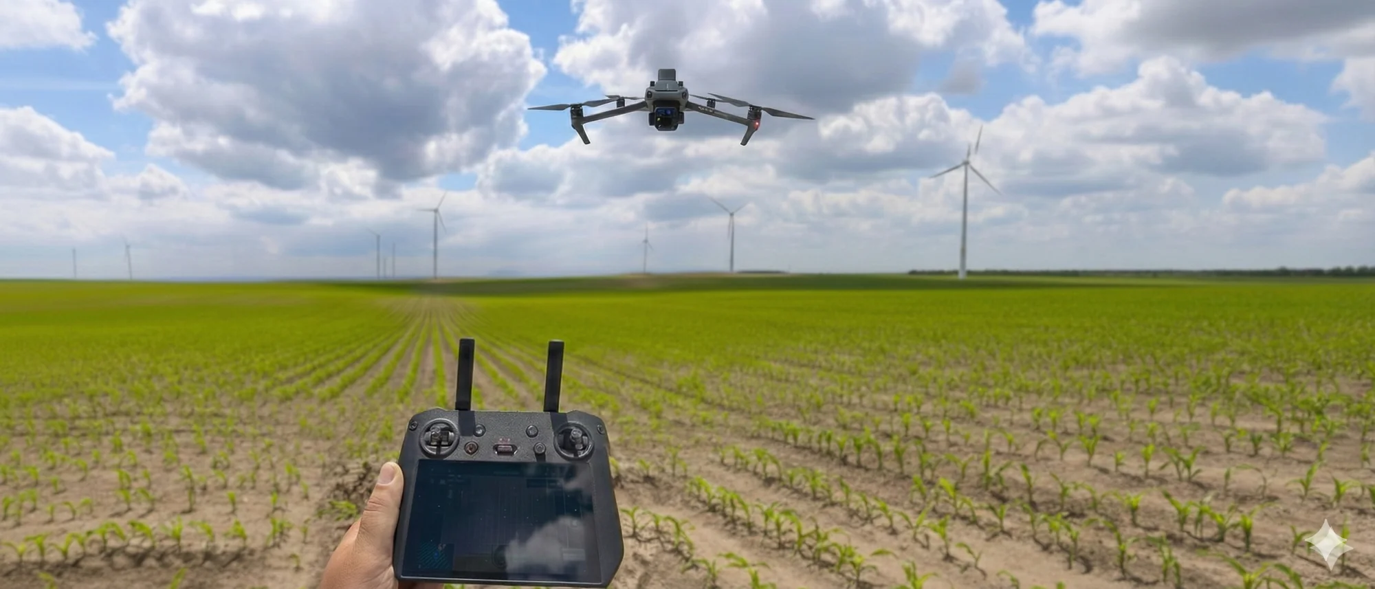
Precision agriculture with cutting-edge drone technology
Our Services
Complete solutions for precision agriculture
Crop Scanning and Analysis
We scan crops with drones equipped with RGB and multispectral cameras and create crop health maps.
Learn more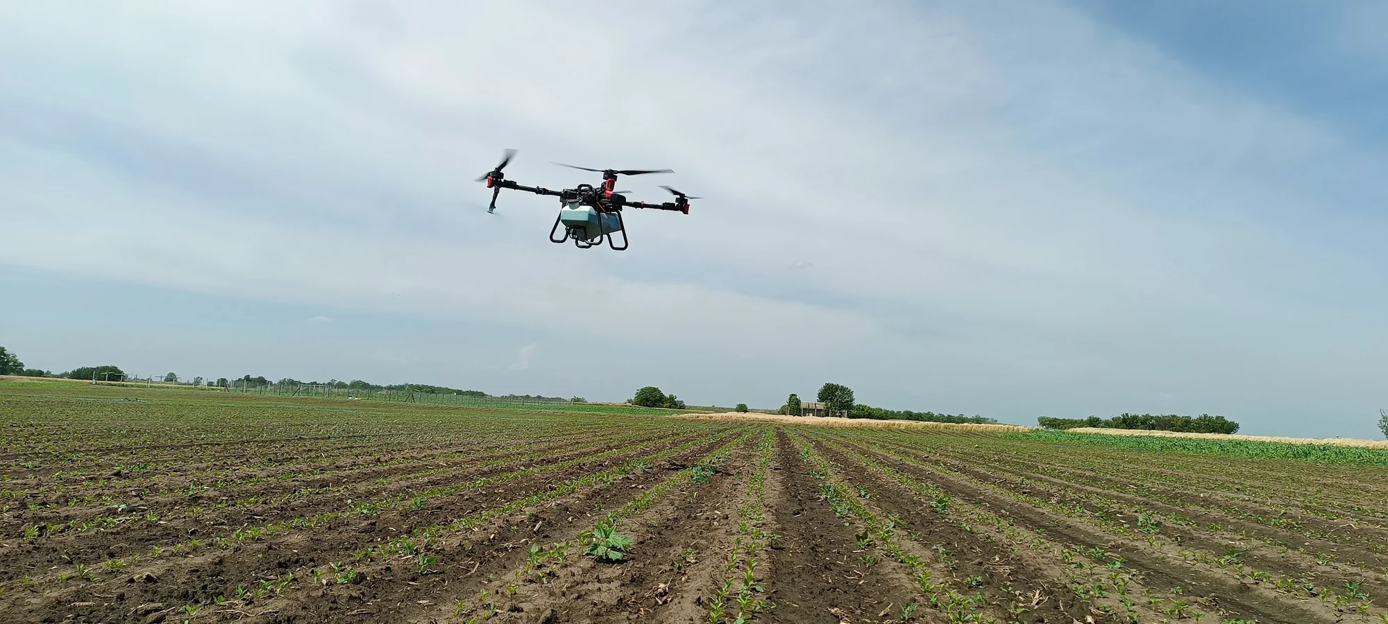
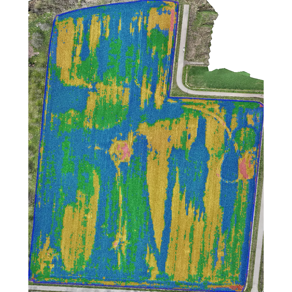
Field Mapping and GIS
Precise field boundaries, elevation models and crop treatment zones
Learn moreWhy AGRIMETRIX?
Your partner for precision agriculture
Speed
We arrive within 48 hours
Complete logistics
You just show the location
Modern drones
Cutting-edge technology
Smart agriculture
10+ years of practice
Clear reports
Not just for experts
Personalized approach
No templates