Field Mapping and GIS
What the client gets
- ✓ Parcel boundaries - according to cadastre or client request
- ✓ AB lines - predefined selection of AB line for processing direction and headlands
- ✓ High resolution orthophoto - insight into every centimeter of your parcel
- ✓ Digital terrain model (DTM) - waterlogging drainage, crop height determination
- ✓ Reports in Excel table - data for import into e-agrar
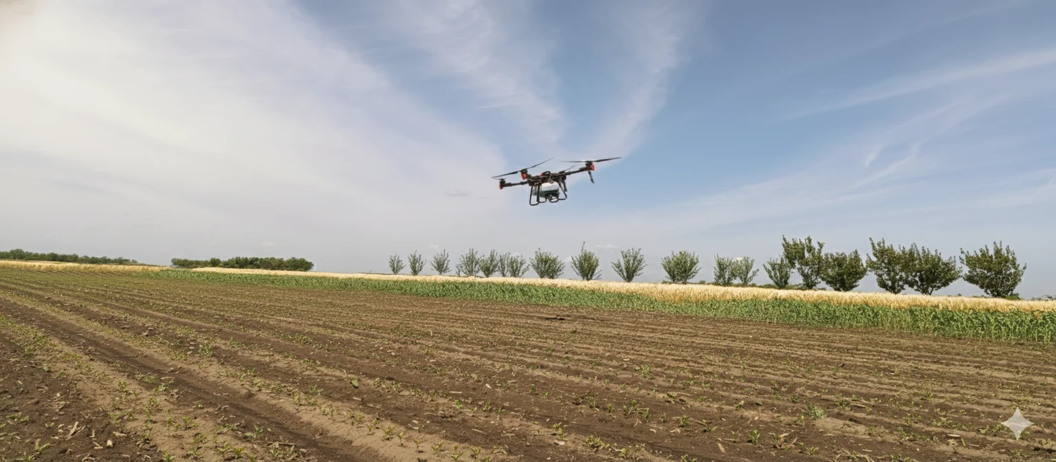
Equipment
DJI Mavic 3M RTK and Trimble R6 receiver with TSC3 controller
- Parcel data in shapefile/GeoJSON/dxf
- DTM (Digital terrain model)
- High resolution orthophoto