Our Services
Complete solutions for precision agriculture
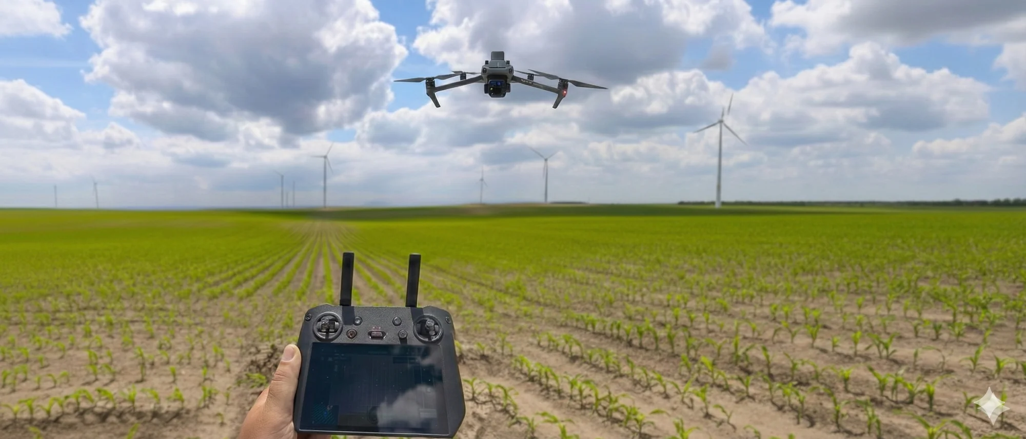
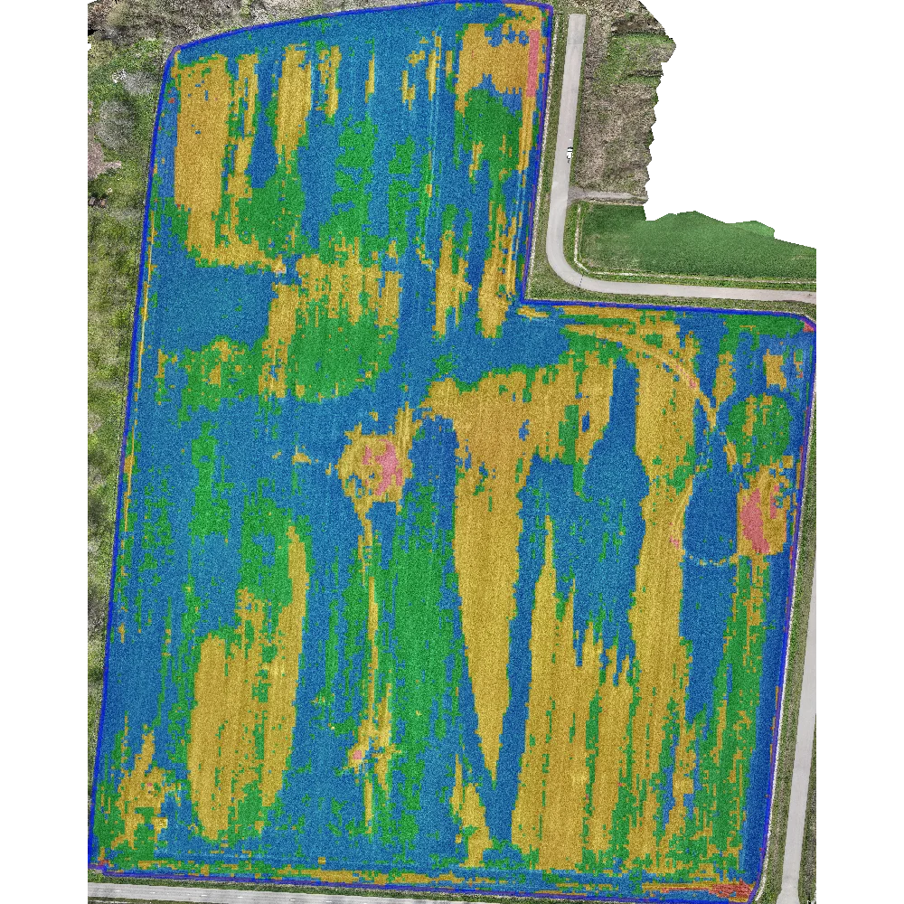
Crop Scanning and Analysis
Drone crop scanning enables early problem detection. On the obtained images we perform various analyses: Plant counting (Stand count), Canopy cover assessment, Crop vigor/vitality assessment (Vigor), Weed detection, Waterlogging, Damage assessment (Lodging)
Equipment:
DJI Mavic 3M RTK
You Get:
PDF Report, Excel report, treatment zones in appropriate format
Field Mapping and GIS
We create your field boundaries according to cadastral data and terrain characteristics, giving you a clear picture of all obstacles in the field. By combining cadastral data and orthophoto images, we precisely identify field boundaries and create AB lines for parcel processing to achieve greater efficiency of your machines in the fields.
Equipment:
DJI Mavic 3M RTK and Trimble R6 receiver with TSC3 controller
You Get:
Parcel data in shapefile/GeoJSON/dxf, DTM, orthophoto image
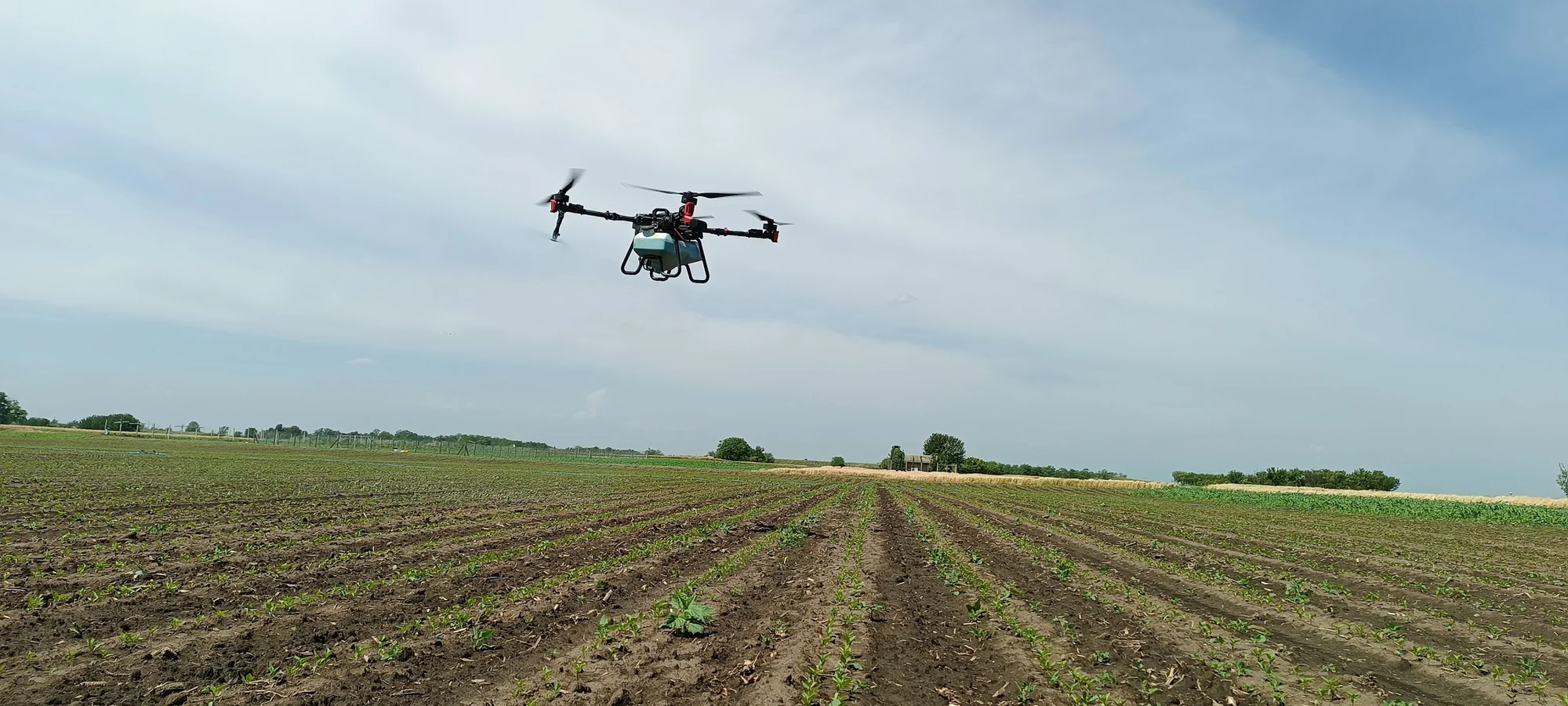
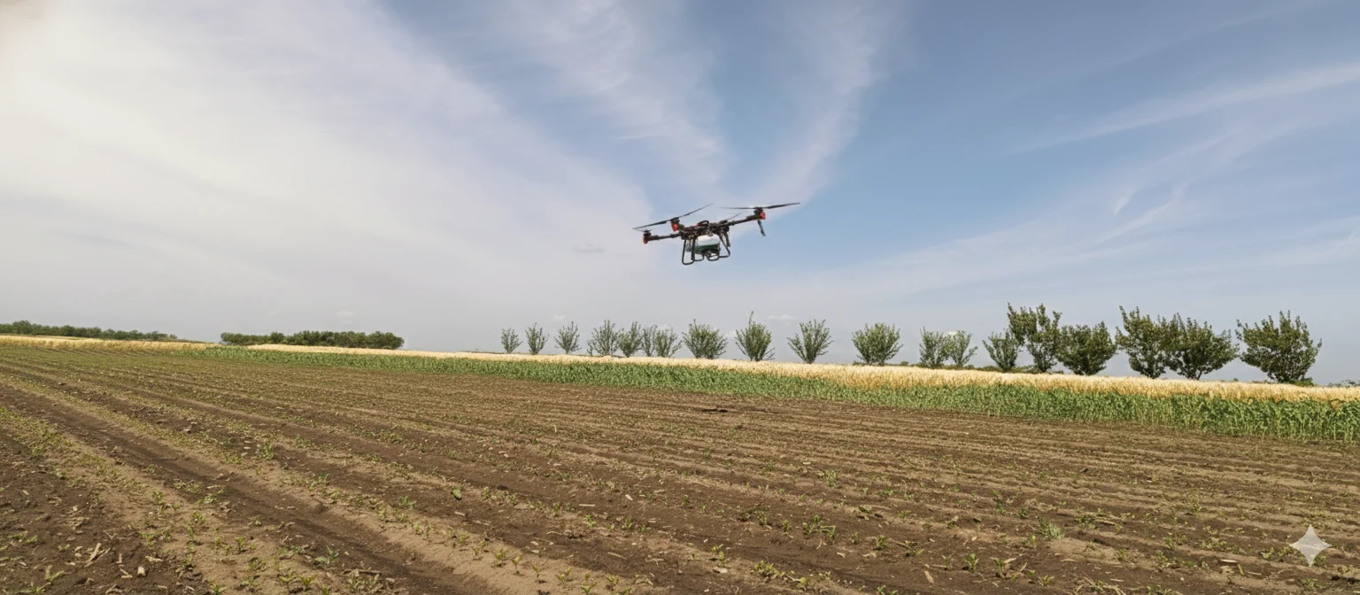
Drone Treatment
No crop trampling. No soil compaction, soon after rainfall or irrigation. Better pesticide application and deposit persistence on leaf surface. Efficiency depends on treatment type and crop type.
Equipment:
XAG P100Pro - RevoSpray 3 (50L) - RevoCast 3 (80L)
You Get:
Fast treatments, no trampling, lower consumption
Why AGRIMETRIX?
Your partner for precision agriculture
Speed
We arrive within 48 hours
Complete logistics
You just show the location
Modern drones
Cutting-edge technology
Smart agriculture
10+ years of practice
Clear reports
Not just for experts
Personalized approach
No templates
Interested in collaboration?
Contact us for a free consultation and detailed quote tailored to your needs